SERVICE UPDATE — FRIDAY, OCTOBER 16
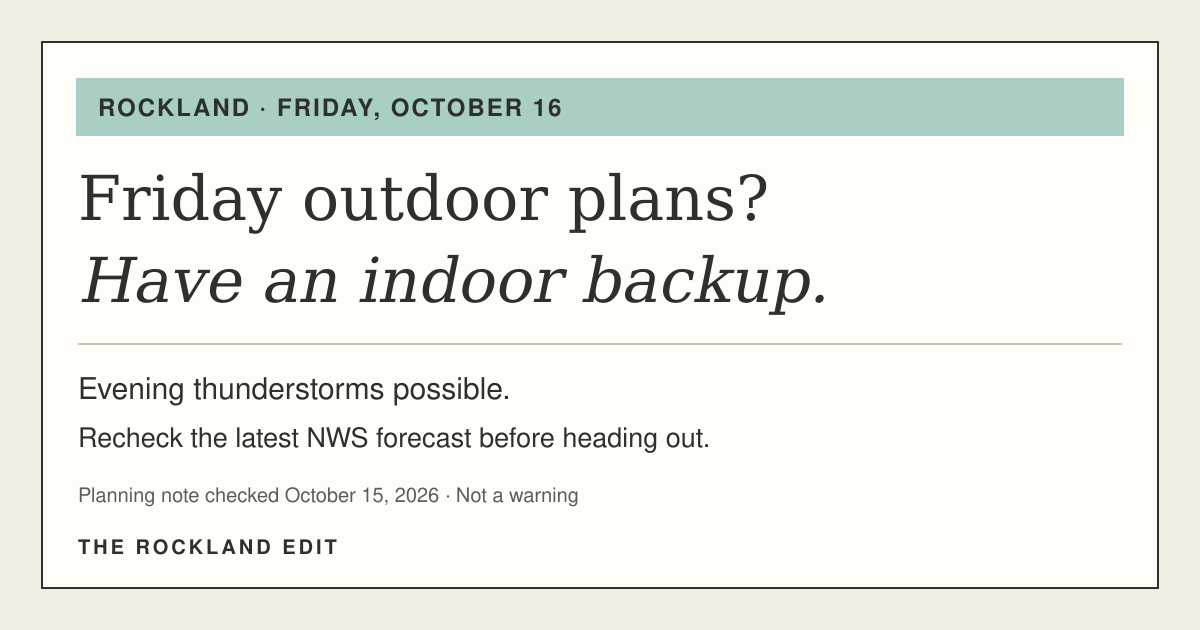
Friday evening outdoor plans? Have an indoor backup.
If Friday evening includes a game, a walk or an outdoor gathering, make room for a change of plans. The National Weather Service identifies a possibility of strong-to-severe thunderstorms in a region that includes Rockland.
The useful step: plan a safe place to go
Choose an indoor backup, check the latest forecast before heading out and follow any new official warning. This note concerns Friday, October 16; it is not live weather coverage or an event-cancellation notice.
NWS Upton's 3:42 p.m. Thursday outlook ↗ names Rockland in the area where a line of strong-to-severe storms is possible Friday. That same outlook does not expect hazardous weather Thursday afternoon or night. A Friday possibility is not an active warning for tonight.
The New City point forecast ↗, updated Thursday at 2:36 p.m., includes showers before 2 p.m. Friday and showers with a possible thunderstorm after 5 p.m., continuing into Friday night. Those are forecast periods for one location—not a guaranteed arrival time at every Rockland address. A break in rain is not a reason to skip the evening forecast check.
If you hear thunder, move to safe shelter
NWS lightning guidance ↗ calls for a safe building or enclosed vehicle. A tent, dugout or open picnic shelter is not safe lightning shelter. Wait at least 30 minutes after the last thunder before returning to outdoor activity.
Check your organizer's own updates before changing event plans. This forecast does not establish that a school activity or any October 17–18 calendar listing has been canceled.
Forecasts and NWS hazardous-weather links checked October 15, 2026, in the 7:56 p.m. EDT cycle; issuance times above are separate from our check time. The linked NWS pages update in place: use their latest dates for a new decision. This brief intentionally gives no exact countywide storm arrival or categorical risk score. Planning horizon: Friday evening into early Saturday; after 2 a.m. October 17, use current NWS information rather than this dated forecast. That cutoff is not an all-clear.